Cycling along the Thousand Islands
Cycling along the Thousand Islands
(Scroll down to the bottom the this page for map and photos.)
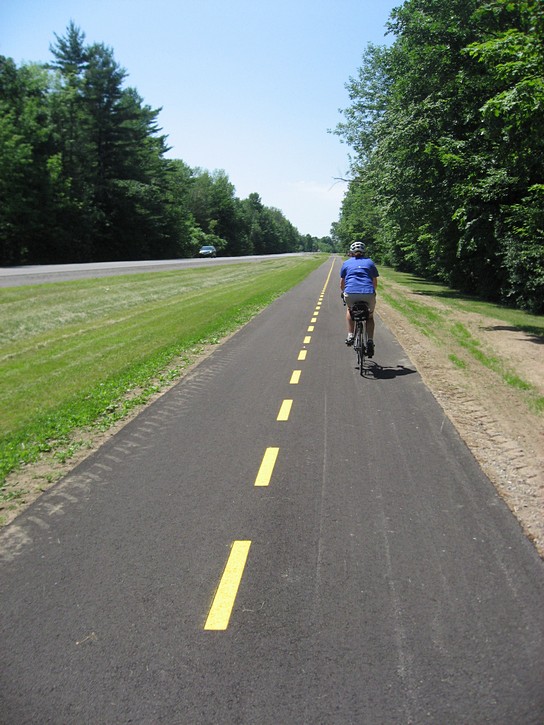
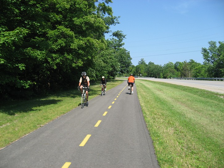
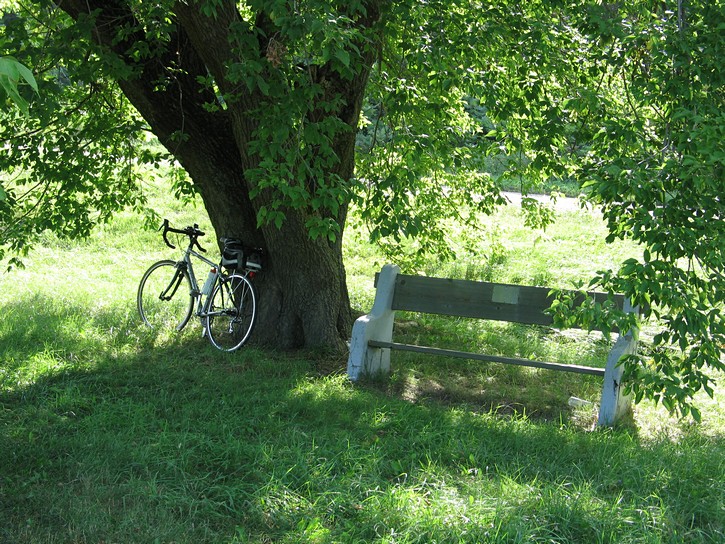
Cycling along the Thousand Islands National Park makes for an enjoyable day or overnight trip in the very scenic Thousand Islands. Total distance in one direction is a touch less than 40 kilometres, and almost the entire route can be done on a paved multi-use path.
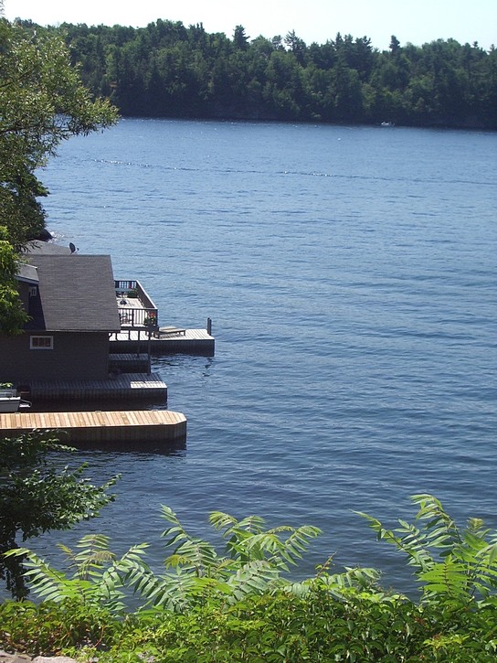
The path starts about 10 kilometres west of Brockville and continues to the eastern outskirts of Gananoque. Many areas along this relaxing bike route offer great views which have made the Thousand Islands a world class tourist destination. Along the way you will come across a number of lookout points, some small towns, a public beach, historical sites and plaques, campgrounds, motels and resorts, and a couple of places to purchase snacks, meals, and something cold to drink.
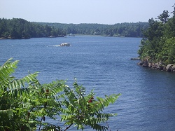
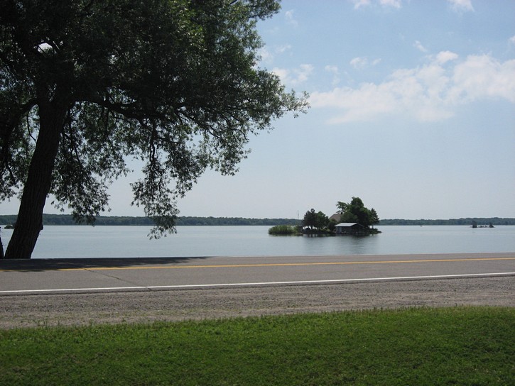
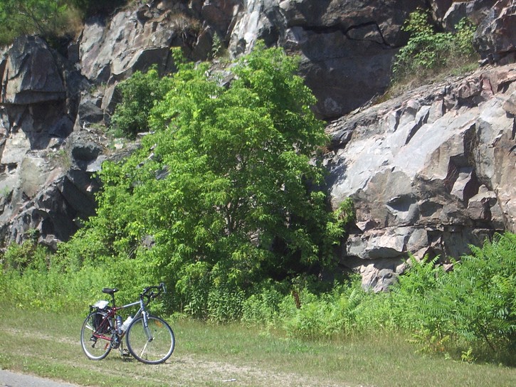
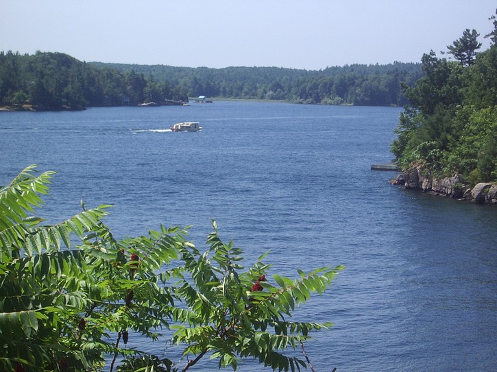
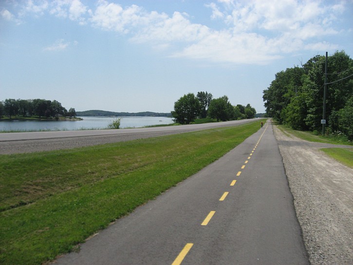
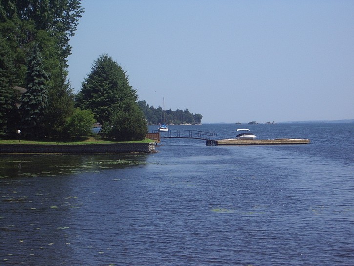
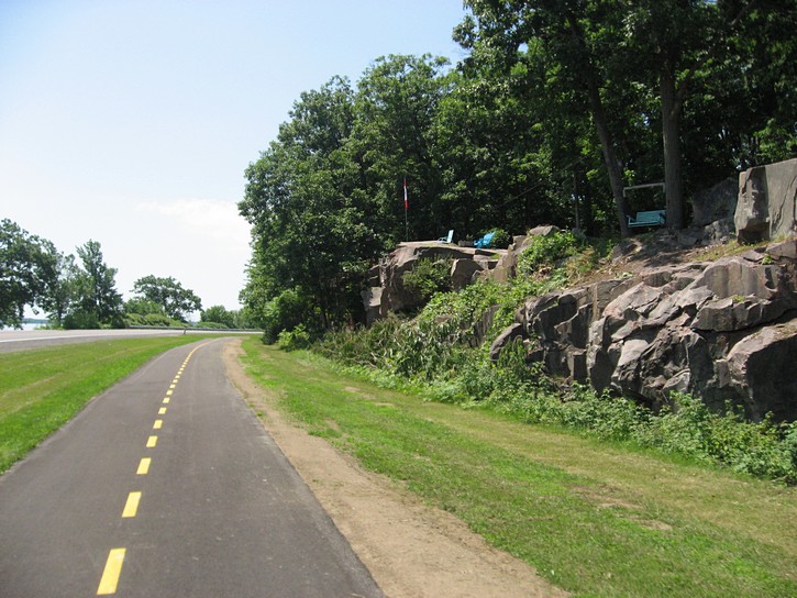
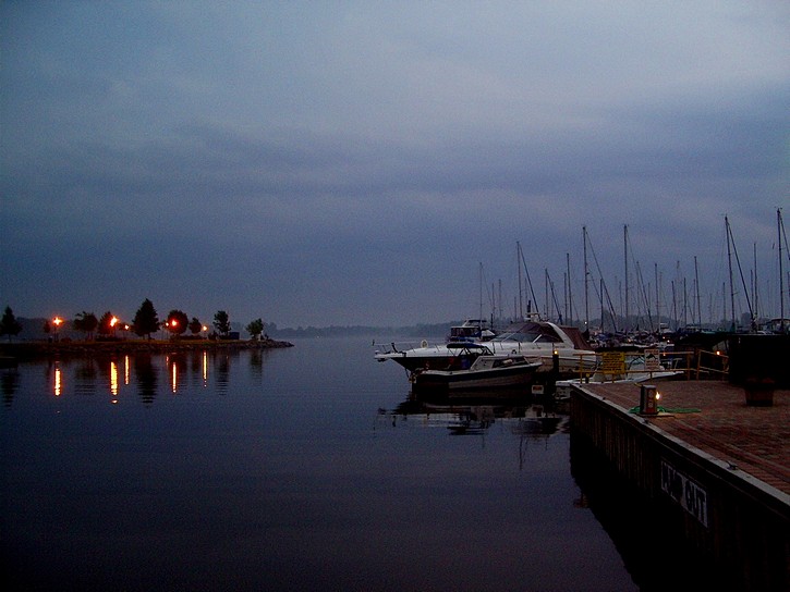
A view of the Thousand Islands from the path. (scroll down for more photos)
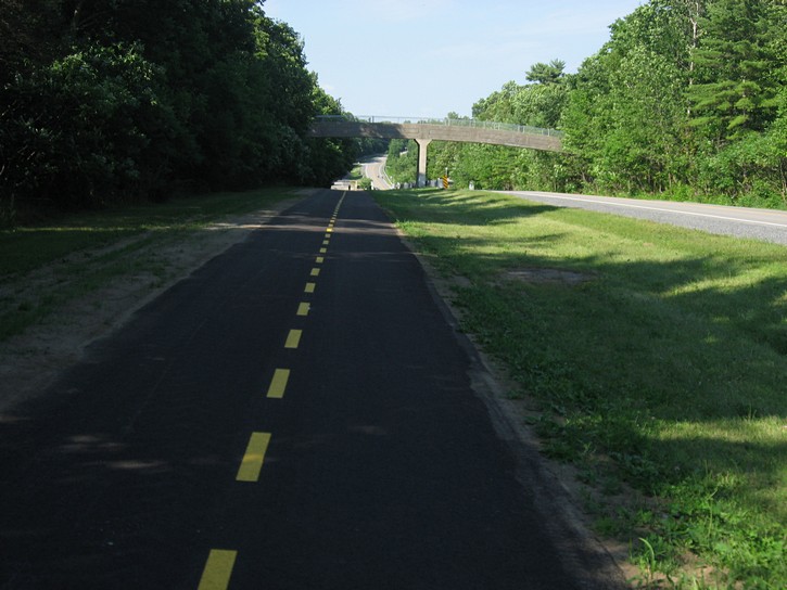
The path runs along the north side of the Thousand Islands Parkway, a two lane highway which follows the St. Lawrence River. Access to the Parkway is well indicated on Highway 401. It is fairly easy to find places at either end of the Parkway where you can park a car. There are no fees to enter the parks by bike or to use the path.
The terrain in the area is relatively flat, but the trail itself has a number of long slopes, a few of which may cause some grumblings from people who hate hills. At a leisurely pace, it should be possible for many people to cycle the length of the path (in one direction) in 2 to 3 hours. Needless to say, you could do it much faster if you push hard. Although the Parkway can sometimes be busy with local traffic, riding on the road is a possibility, especially for people who are used to this kind of cycling.
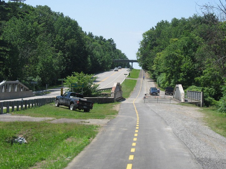
The path itself was repaved in 2014. It is now 10 feet wide, has nice smooth asphalt surface, and is a joy to cycle on. This is in stark contrast to the situation a few years ago. At that time the path was usually narrow and was in such disrepair that grass and plants were starting to grow through the pavement.
If there is one criticism that can be made about the path is that they built it on the wrong side of the Parkway. The path is separated from the waterfront by the Parkway and all of its vehicular traffic. Making matters worst is the Parkway is often 2 to 3 feet higher than the path, and in a number of areas this obscure what would otherwise be a great view of the Lawrence River. However, this is small irritant that doesn’t really take away from the path’s many positive points.
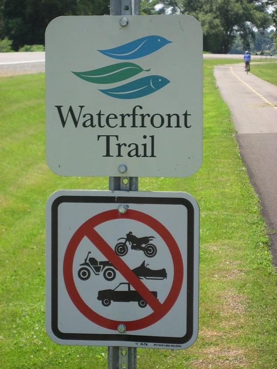
It also worth noting that the path is part of Ontario’s Waterfront Trail, a cycling route which runs along the north shores the St. Lawrence River, Lake Ontario, and Lake Erie.
The Thousand Islands National Park
When riding this route, it is worth noting that the Thousand Islands National Park is Canada’s first national park east of the Rocky Mountains. It was established in 1904 with a little less than 9 square kilometres of land. While is has grown considerably over the years, it remains Canada’s smallest national park. However, it is primarily a water-based park, and includes 21 islands and over 80 inlets along the St. Lawrence River. It should be noted that only a small percentage of the mainland is part of the national park. Most of the land along the route is privately owned, and there are some facilities that are operated by an agency of the Ontario Government.
When planning a ride along the Thousand Islands National Park , it is always a good idea to take into account any headwinds you may encounter. The prevailing winds blow from west to east, and they can be more noticeable than in other areas because of the funneling effect of the river. It is therefore a good idea to start your ride in the east and head west. That way, if the prevailing wind is blowing, you will have an easier time on your way back, when you are likely to be most tried. For this reason, this article assumes that the initial leg of your ride will be from east to west.
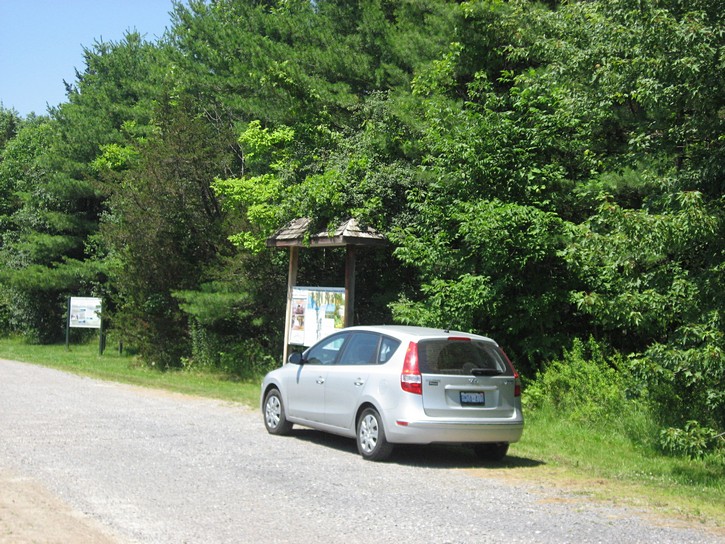
When you entered the eastern end of the Thousand Islands Parkway by car, you will soon come to a turn off and rest area the right side of the road. It has signs and information displays about the Thousand Islands National Park and facilities along the parkway. It is a convenient place to park your car and beginning your ride. Quite a few people do exactly this, a fact you will be able to confirm when see other cars parked in the area with telltale bike racks.
Planning your ride
How far you go on the path is really up to you. You would cover more than 75 kilometres if you were to ride all the way to the end and return to your car. For a shorter ride you could cycle to the small town of Rockport at the half way point, and then turn around. Another possibility is to cycle a few kilometres beyond the end of the trail to the town of Gananoque, overnight there, and return the following day. It may be safe to leave your car parked along the parkway while you are in Gananoque, but you may want to give some thought to the fact that you will be leaving your vehicle on what will be a fairly deserted stretch of road during the overnight period.
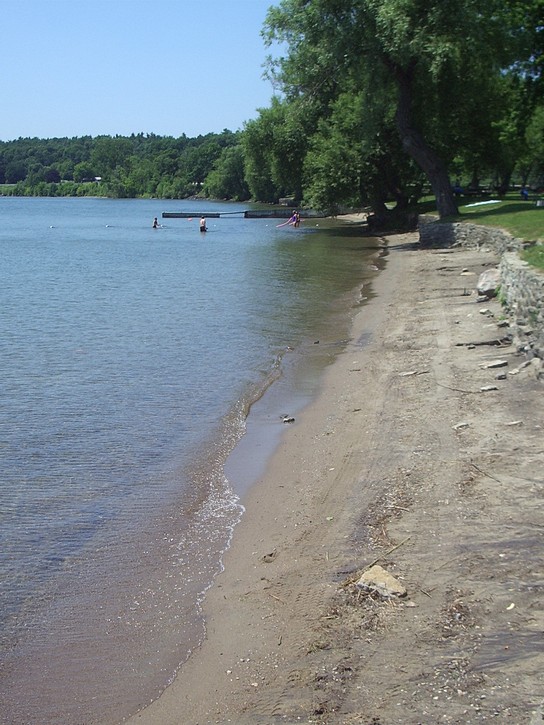
After pedaling the first three kilometres of the trail, you will come across Brown’s Bay Day-Use Park on your left. It is not part of the Thousand Islands National Park , and is actually operated by an agency of the Ontario Government. It has parking lots, a public beach, washroom facilities, picnic tables, and a fast food stand. It costs money to park here when arriving by car, but use of the park is free for people arriving by bike (as of 2007). It is worth taking note of this park because it is a great place to stop a for a refreshing dip in Lake Ontario after spending the afternoon cycling back under the hot sun.
The Brown’s Bay Day-Use Park could also serve as an alternate starting point for your ride. Although there does not seem to be any hard and fast rules about overnight parking here, in the past, park officials have indicated that people can leave their cars in the parking lot for the night if they pay for two days. Although there are no guarantees, presumably this would be a safer option than leaving your vehicle by the road side for the night.
You will cycle past Mallorytown Landing in about five kilometres after Brown’s Bay. This is where you will find the official Visitor Centre for the Thousand Islands National Park . It features a theater, historic gunboat exhibit, a 1.7 km walking trail, picnic area, and a travelling exhibit about birds. The centre also offers interpretive programs on a variety of topics relating to the park.
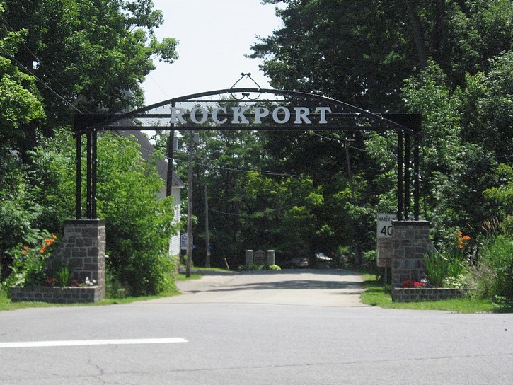
The small village of Rockport
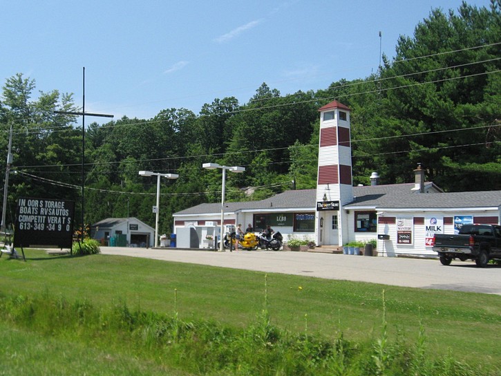
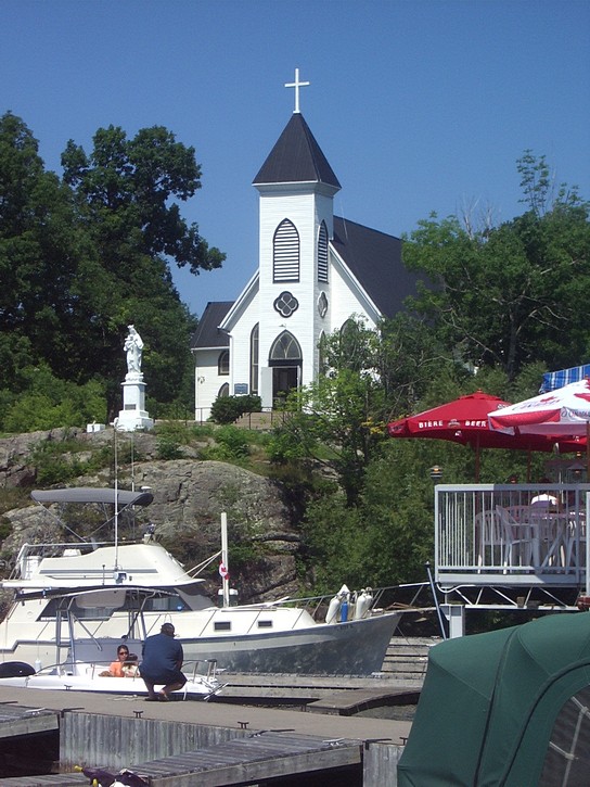
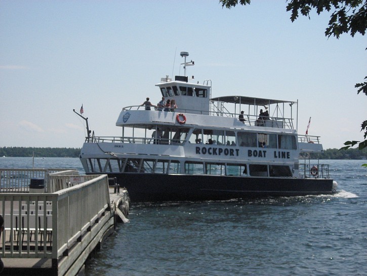
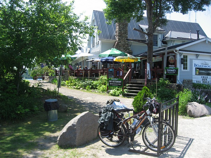
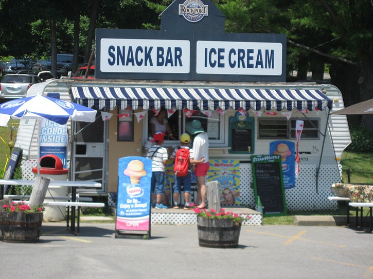
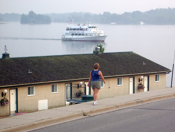
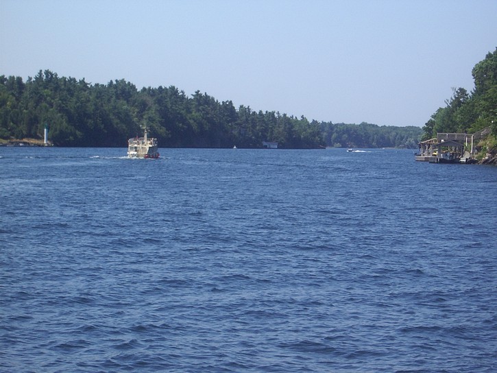
As you continue riding on the path, the small village of Rockport is the next major point of interest. It is located on a crescent on the south side of the parkway. Rockport is a popular tourist stop because it is home to one of the area’s big tour boat operations which brings people out for a two to three hours cruise in the Thousand Islands. The village itself is very small, but does have a restaurant, a store, a few fast food stands and restaurants, a hotel, and even a little church. Rockport is roughly at the half way point for anyone riding the entire length of the path, so it is a convenient place to stop, if only to check out the goings-on, to grab a bite to eat, or buy some bottled water or other cold drinks.
A few kilometres past Rockport is the bridge to the United States. Both the parkway and path pass over the road leading to the bridge, and on busy weekends, you will probably see a line up of cars on it waiting to get through the border. Because of the ramps to get on and off the road to the bridge, there is a gap in the path in this area, and it is necessary to ride on the parkway for a short distance.
Immediately after the road to the bridge you will find the entrance to the Ivy Lea Campsite on the south side of the parkway. This camp ground is operated by the same agency that is responsible for Brown’s Bay Day-Use Park, and it has over a hundred camp sites. There are also 125 camp sites at the Landon Bay Centre, which is located five or six kilometres further down the path on the right. This centre bills itself as a 225 acre ecological reserve which offers opportunities for environmental education and features an extensive network of walking trails.
As you ride along the path, you notice that there is a number of official lookout points. Many provide a great view of various aspects of the Thousand Islands, and are often worth a stop. Unfortunately, getting to them means you have to leave the path and cross the parkway. As you get closer to the western end of the path, you see a couple of resorts which provide accommodations in motels and/or cabins. They seem to offer a lot in the way of amenities, but they tend to cater to people who like to come to the Thousand Islands to do some boating or fishing.
Heading on to Gananoque
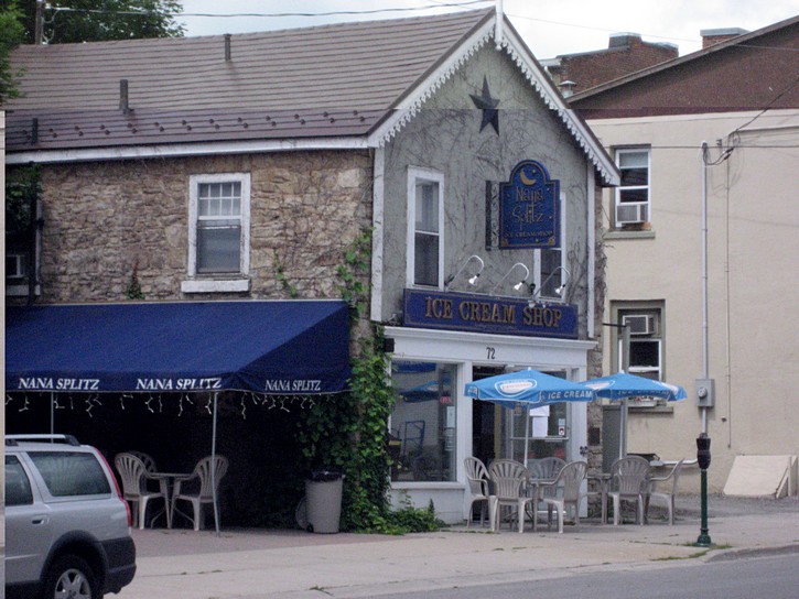
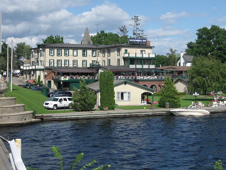
If your decide to push on to Gananoque at the end of the path, you will not have far to go. After riding on the parkway for a very short distance, you will come to an off ramp that brings you to Highway 2. Turn left on Highway 2 and you will arrive in Gananoque in a few minutes. The town itself has a population of a little over 5000, and it is easy to get around on a bike or by foot. Gananoque markets itself as the “Gateway to the Thousand Islands”, and it is one of the region’s better known tourist centres.
When you first enter the town from the east, you will see several motels and restaurants, including some of the usual fast food establishments. If you are in need of any bicycle parts or servicing, keep an eye out for a strip mall on your left which houses T I Cycle, a well equipped bike shop. Although this end of town has everything you need for overnight stay, you may prefer to cycle for another kilometre to get into the older part of Gananoque.
As you approach the downtown area, you may want to consider turning left on Stone Street South. This will take you towards the waterfront and the Thousand Islands Playhouse, a highly successful summer theater with seating for over 350 people. Along the way you will pass by an inn and a of couple bed & breakfasts, and there are more of these waiting to be discovered on the other side of the small river which flows through the middle of Gananoque. If you are looking for a place for an overnight stay, a number of the inns and B&Bs make an effort to accommodate cyclists, including the Victoria Rose Inn, the Stonewater B&B, and the Absolute 1000 Islands Suites.
After your stay in Gananoque, you will be ready to head back to where you parked your car. If the prevailing winds are blowing strongly from the west, you will find your return trip on the path along the Thousand Island Parkway much easier and faster.
Brockville- An alternate departure point
It should be noted that while this article assumes you will be starting your ride at the eastern end of the parkway, you may want to think about leaving from Brockville. This attractive town is located about ten kilometres east of the Thousand Islands Parkway. Although it is easy to get around Brockville, it is considerably larger than Gananoque, and it is not as touristy. The main problem in using Brockville as a departure point is that there is no public overnight parking in the downtown area. None whatsoever.
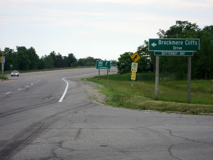
If you do start your trip from Brockville, you will have to cycle on the Highway 2 for about eight kilometres. This is a fairly busy road, but it has a good paved shoulder. Just before Highway 2 crosses over the 401, you will have to turn left onto Brockmere Cliffs Drive. This local road runs along a narrow strip of land between the St. Lawrence River and the 401 (there are sound barriers separating it from the 401). Brockmere Cliffs Drive will bring you to the beginning of the Thousand Islands Parkway. The total distance between Brockville and Gananoque is probably very close to 50 kilometres.
Michael McGoldrick,
August, 2007 (updated 2014)
![]()
![]()
![]()
![]()
![]()
![]()
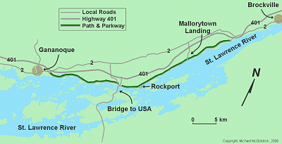
(Click on the map for a larger version.)
(Click on the images for larger photos)