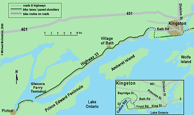
Kingston to Picton via Highway 33
Kingston to Picton
via Highway 33
(Scroll down to the bottom the this page for map and photos.)
Heading west from Kingston on Highway 33 (also known as the Loyalist Parkway) may seem like nothing more than a convenient route to get to some of the great cycling opportunities which exist in Ontario’s Prince Edward County. In reality, this route is a worthwhile ride in its own right.
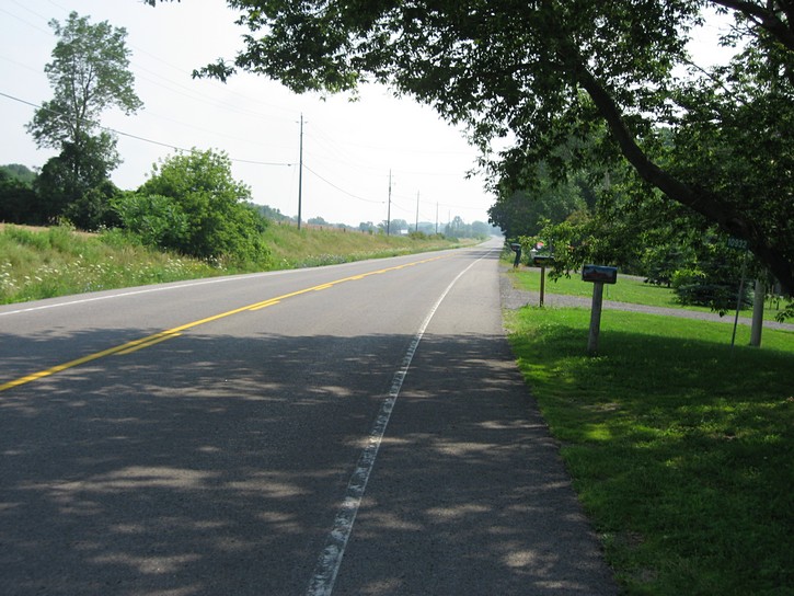
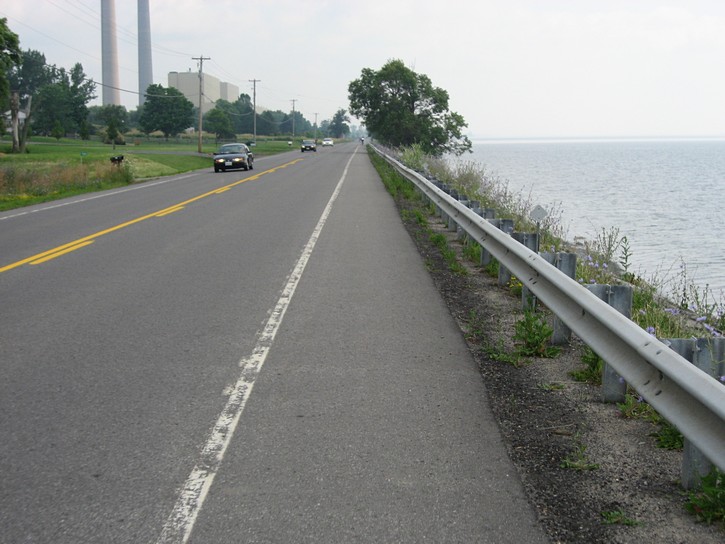
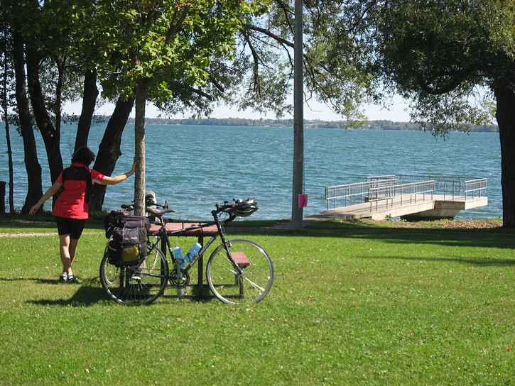
There are two reasons this route is particularly enjoyable. The first is that, once you get out of Kingston, you’ll be riding on a nice paved shoulder the whole way. The second is that Lake Ontario will almost always be in visual distance, and in many areas you will actually find yourself riding right next to the water’s edge. This is noteworthy because some of the cycling routes that follow the north shore of Lake Ontario can be far removed from the waterfront.

This is typical of the Highway 33 outside of Kingston. (scroll down for more photos)
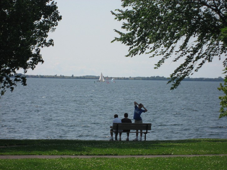
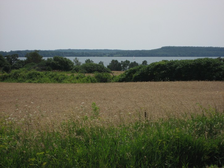
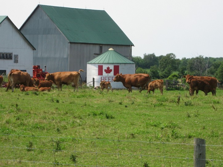
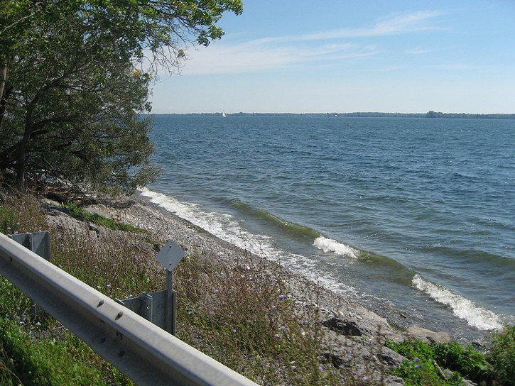
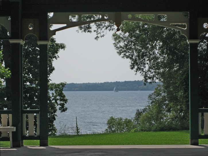
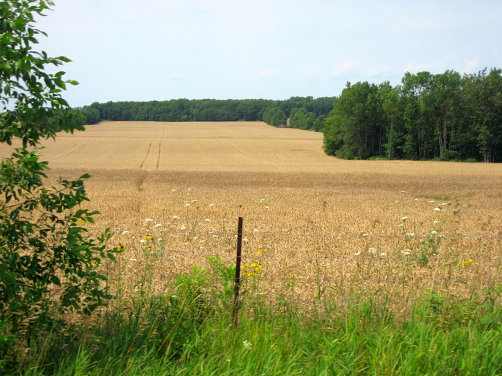
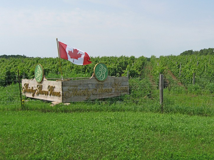
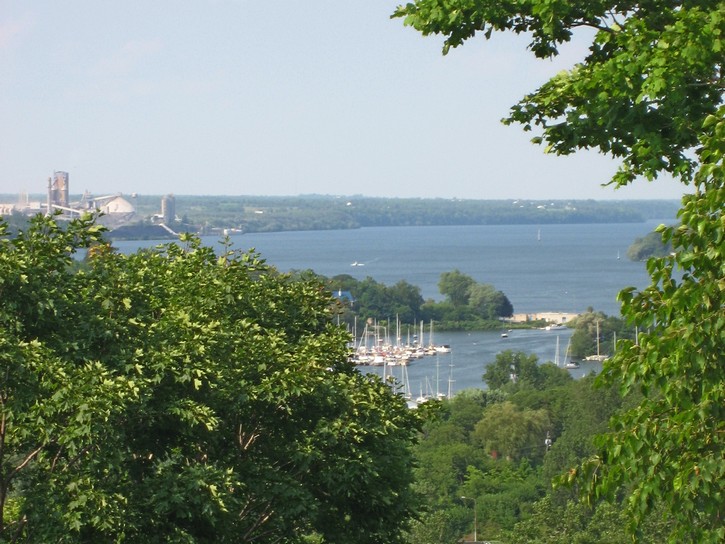
When riding along Highway 33 on the mainland, you come across spots where you’ll be able to see the wide open water of Lake Ontario, but more often than not, you will be looking at Amherst Island or the beginnings of the Prince Edward Peninsula. Kingston bills itself as the freshwater sailing capital of the world, so these waters are often dotted with sailboats. The scenery onshore isn’t bad either. It consists of rolling farmland which gradually drops down to the water’s edge. You even pass by a couple of vineyards as you cycle further west on this route.
It should be pointed out that the paved shoulder of Highway 33 is designated as part of Ontario’s 900 kilometre Waterfront Trail which runs along the north shores of Lake Ontario and the St. Lawrence River. This is clearly an example of how the Waterfront Trail can identify relaxing routes for bicycling. However the Waterfront Trail is a work-in-progress and still has a number of gaps where cyclists will find themselves on secondary highways or high-traffic roads that have no paved shoulder.
Departing from Kingston
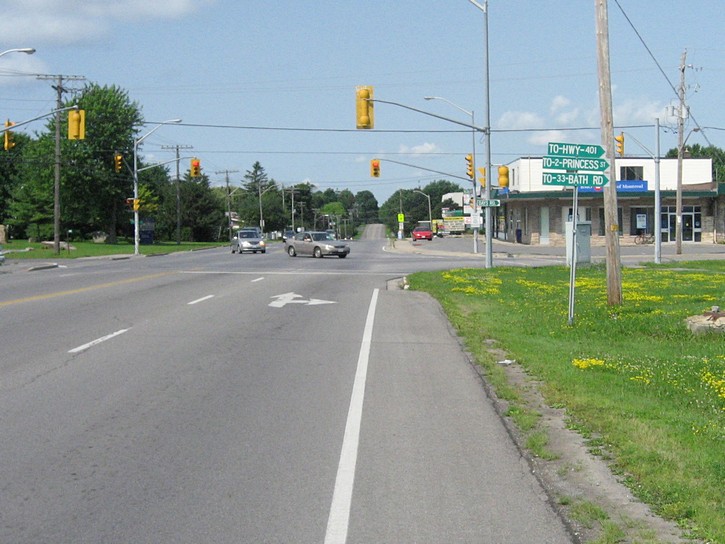
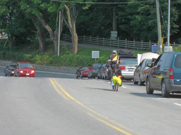
When departing from Kingston, the most challenging aspect of this ride is getting out of the city. Despite Kingston’s reputation as a human-scale city with an inviting downtown core, it isn’t very bicycle friendly. As a result, you’ll end up riding on some fairly busy streets when heading west to get to Highway 33. If you are leaving from the downtown area, the best route may simply to stay on the roads which hug Lake Ontario’s shoreline. This means heading west on Ontario Street, followed by Kings Street, which then becomes Front Road. Initially, this route is quite pleasant as you ride through the older part of town. You eventually find yourself on one of Kingston’s few bicycle lanes which runs along Front Road as it passes by the huge Dupont Plant.
When the bicycle lane eventually comes to an end, it will be necessary to continue on Front Road for another kilometre. You will then turn right onto Bayridge Drive and head north. This will bring you to Highway 33 in approximately two kilometres. Note that Bayridge Drive actually passes over Highway 33. To get on it, you’ll have to turn right on Coverdate Drive, a side road which goes around the supermarket and actually connects with Highway 33. (this becomes obvious once you are there).
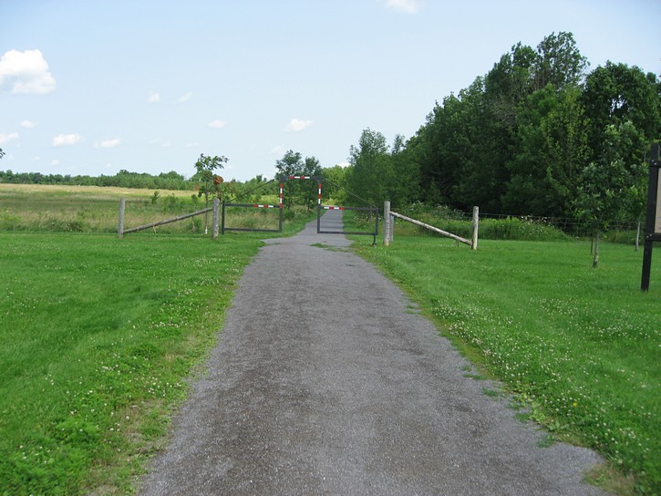
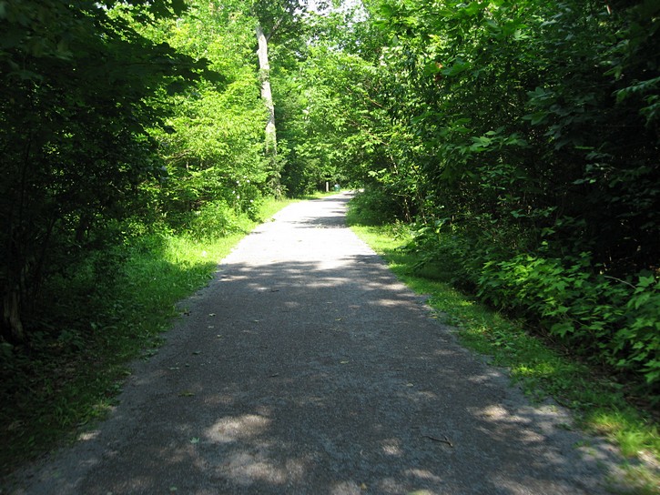
It is also worth mentioning that there is a slightly longer, but more scenic route for getting to Highway 33. Instead of turning right onto Bayridge Drive, continue straight on Front Road until it becomes a small road leading to the Lemoine Point Conservation Area. Go straight (stay to the right) for the most direct route through the conservation area. You’ll now be cycling on a crushed stone path through open fields and a forested area for a little under two kilometres (the surface is suitable for bikes with narrow road ties). As you exit the conservation are you’ll cut through some parking lots to find yourself next to a large marina on Collins Bay. It is necessary to go around the end of the bay to get to Highway 33. Following the signs for the Waterfront Trail will help you find the fastest way to the highway.
Cycling along Highway 33
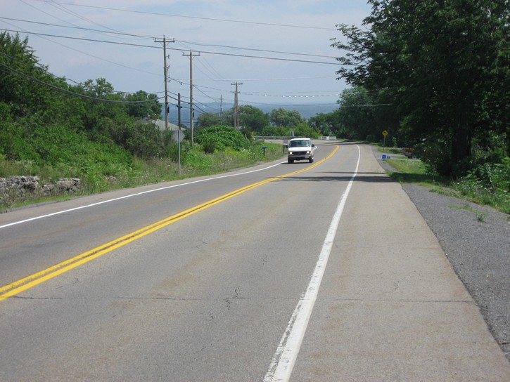
To head west, turn left onto Highway 33. From here onwards, your routing is simple – stay on Highway 33 all the way to Picton. Unfortunately, the next 4 to 5 kilometres of the highway are within the Kingston City limits and can be quite busy with traffic. Making matters worst is that the paved shoulder in this area varies from being very narrow to nonexistent. However, the highway is 4 lanes wide in this area, so there is usually enough space for cars to make room for cyclists. The good news is that soon after leaving Kingston, the quality of the shoulder along Highway 33 improves dramatically. The paved shoulder is in excellent condition, is 1 to 1.5 metres wide in most places, and runs all to way to the Glenora Ferry. This makes for a very relaxing ride.
Not long after leaving Kingston you pass by the ferry terminal which services Amherst Island. The Island itself is about half the size of Wolfe Island, boast of a year-round resident community, one small general store, and it’s own lower power radio station. It is supposed to be a nice place to go cycling, but most of its roads consist of hard packed gravel, and may not be ideal for bikes with narrow tires.
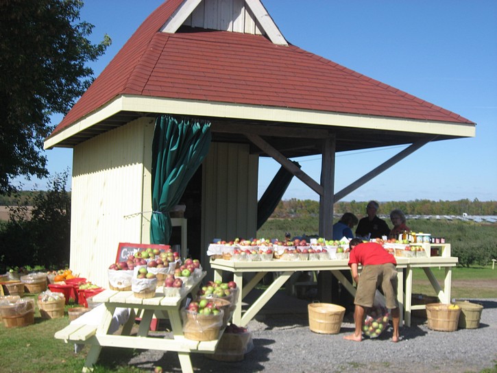
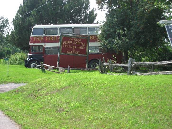
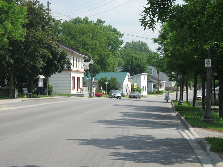
There are numerous convenience stores and restaurants where you can buy supplies or grab a bite to eat on the outskirts of Kingston. However these become increasingly rare as you head west along Highway 33. The Village of Bath, located almost half way between Kingston and Glenora Ferry, is the last place where you’ll be able to find such establishments, so you should plan your stops accordingly if you are thinking of buying food or something to drink.
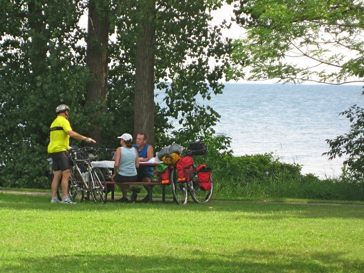
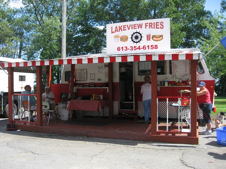
If you are looking for a place to eat along this section of Highway 33, you may wish to consider the fast food stand about one kilometres passed Bath. It is strictly a hotdog-hamburger sort of place, but it’s located in a nice park right by the Lake Ontario waterfront. Here you will find some shaded areas, a good number picnic tables, and some outhouse toilets at the far end of the park. Because it is such a convenient place to stop, the park and fast food stand is very popular with cyclists. It is quite common to find cyclists here comparing notes on where they have been, and where they are going (e.g. the author of this web site once met a sole cyclist from Ireland at this fast food stand.)
While most of Highway 33 isn’t overly busy, you will notice that the level of traffic really starts to drop once you have passed Bath. This is because this portion of the highway literally comes to an end at the Glenora Ferry, and there isn’t a whole lot to generate traffic in the area. Whatever traffic there is usually comes is spurts with the arrival and departure of the ferry. This means that you will not only be cycling on a nice paved shoulder, you will also be riding along a largely deserted highway.
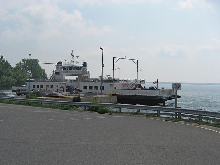
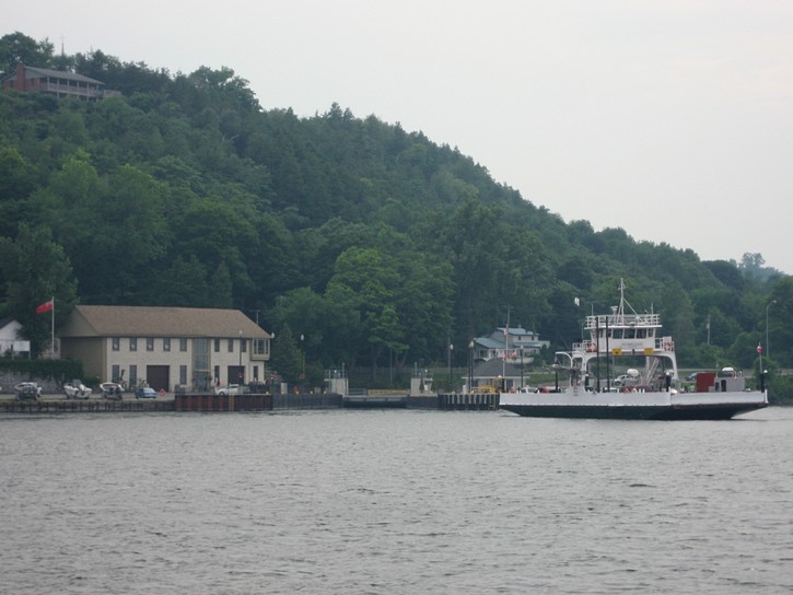
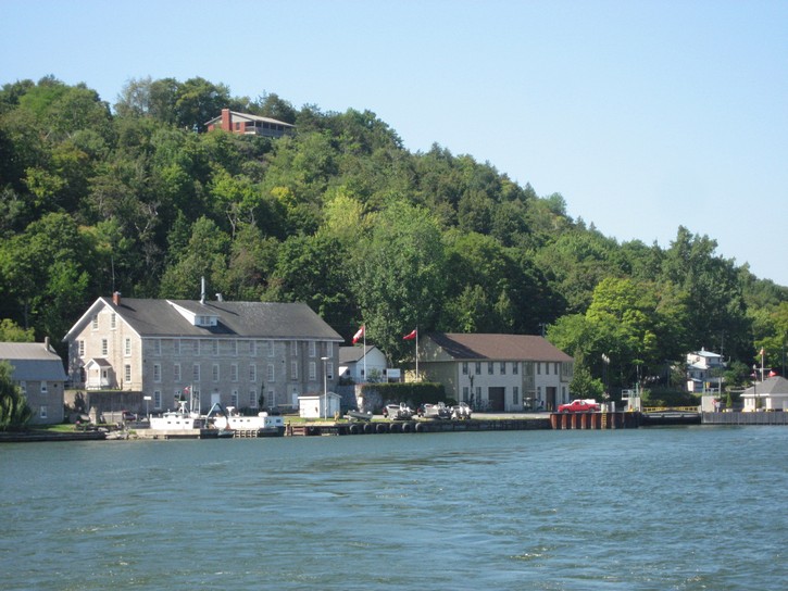
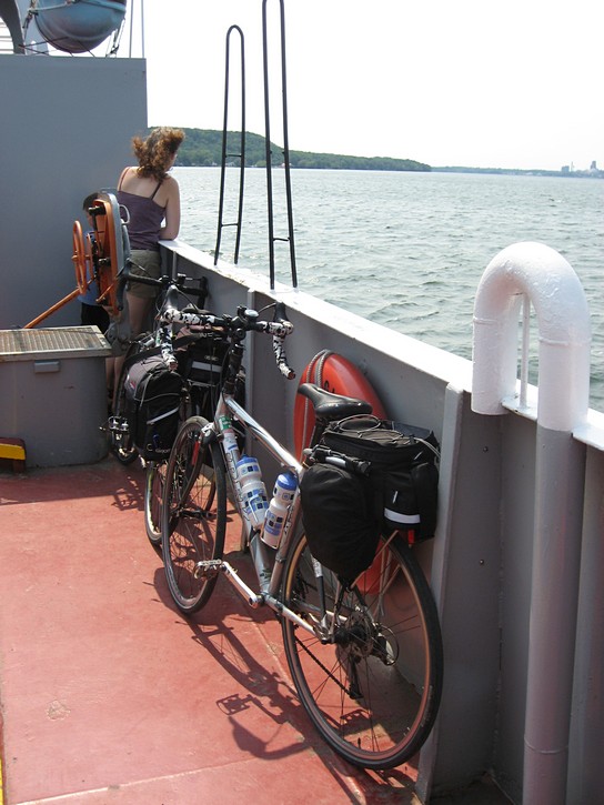
The Glenora Ferry crossing
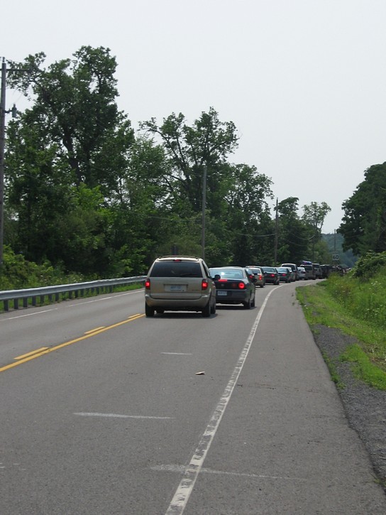
If you arrive at the Glenora Ferry at peak periods during the summer months, you may find a long line of vehicles waiting to make the crossing. On particularly busy days, they can end up waiting for a while since the relatively small ferry can only accommodate 21 cars at a time. Luckily for cyclists, there is always room for bicycles on the next ferry. The Glenora Ferry operates on a 15 minute schedule from 10:15 a.m. to 7:30 p.m throughout the summer, and every 30 minutes during its other hours of operation (confirm the exact schedule with the link below). So it doesn’t matter when you arrive, you won’t have to wait long for the next ferry. And there’s more good news: the Glenora Ferry is a free service operated by the Ontario Ministry of Transportation.
It is a short ferry crossing to the Prince Edward County Peninsula. When you get off the other side, you will have to climb a bit of a hill. It is not very steep, but it is one of the more notable inclines on the ride between Kingston and Picton. As you cycle up this hill, you’ll pass by some public washrooms and a snack stand where it is possible to buy cold drinks.
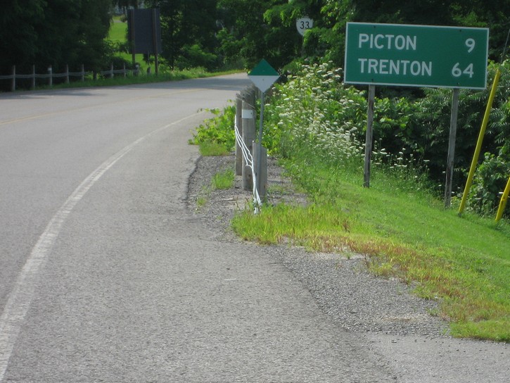
From the Glenora Ferry, it is about 9 kilometres to Picton. Once again you will be following Highway 33, which is also known as the Loyalist Parkway. Highway 33 is one of the major roads in Prince Edward County, so it can be relatively busy at certain times of day. Fortunately, this is nothing to worry about because it too has a good paved shoulder that is generally a metre wide. This part of Highway 33 tends to be slightly more hilly that what you may have experienced in the earlier part of the ride, but it is nothing too serious.
It shouldn’t take long to reach Picton, an attractive town of 4000 people with history going back to 1837. It is also the largest centre in Prince Edward County, and it has good size grocery stores, a small hospital, and a reasonable selection of restaurants, bars, and stores, including a bike shop. Needless to say, there are numerous inns, motels, and bed & breakfasts in Picton and surrounding area. You will pass by a few on Highway 33 on your way into town, and you can get a better idea of what’s available by visiting the tourist office at 116 Main Street, or by clicking onto the appropriate link below.
With everything Picton has to offer, it is an ideal place to use as a home base when exploring Prince Edward County, which has to rate as one of the more outstanding areas for bicycle touring in all of Ontario. For more on cycling in this area, see the article about the Prince Edward County on this web site.
A note for people cycling from west to east
This article presents information from the perspective of someone cycling west from Kingston. However, it is fairly easy to work backwards from the information provided when planning your ride on the opposite direction. Unfortunately, finding the route to the downtown area once you get into Kingston may not be all that obvious.
As you approach Kingston, the nice paved shoulder will become noticeably narrower, and you will soon pass by Collins Bay. It is easy to spot because this body of water comes right up to the Highway, and there is a large marina on the far side of the bay. As you get to end of the bay, keep an eye out for small sign indicating you have to turn right to get to the Waterfront Trail. Follow the trail for about 100 metres until you get to Coverdale Drive. Here you have the choice of turning right to go through Lemoine Point Conservation Area (you have to cut through the Rotary Park parking lots). Your other choice is to turn left and continue on Coverdale for a few hundred metres until you get to Bayridge Drive. Turn right on Bayridge and you will reach Front Road in about two kilometres.
Michael McGoldrick,
July, 2008
![]()
![]()
![]()
![]()
![]()
![]()
Some handy links for this ride:
► Tourist Information for Kingston |
(Click on the map for a larger version.)
(Click on the images for larger photos)